Selecting Projection

Contents
The four types of projection which may be selected are as follows
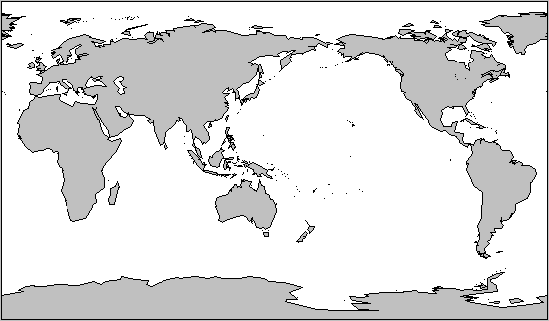
Cartesian
The Cartesian map projection involves displaying both latitude and longitude on a linear scale, so that the whole world appears as a rectangle.
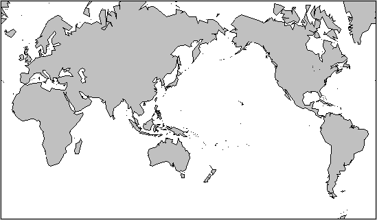
Mercator
The Mercator projection displays lines of longitude at regular, proportional intervals, but uses a logarithmic expansion of the latitude, so that polar regions become stretched. The rationale behind this projection is that a straight line on this map is also a line of constant compass bearing. It is not possible to display the poles using this projection, as the mapping algorithm would cause them to be stretched out to infinity. Therefore Solar Maps limits the displayed latitude to ±80º.
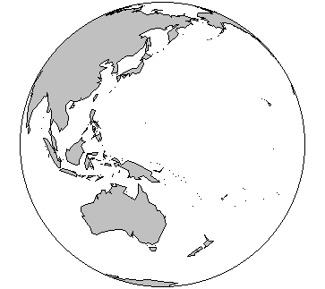
Globe (Sphere)
The spherical projection is what you would see if you viewed the Earth from a great distance. Only half the globe is visible at one time.
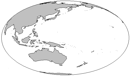
Globe (Oblate)
The oblate projection is similar to the spherical projection except that the globe is stretched horizontally to make maximum use of space on the rectangular screen.